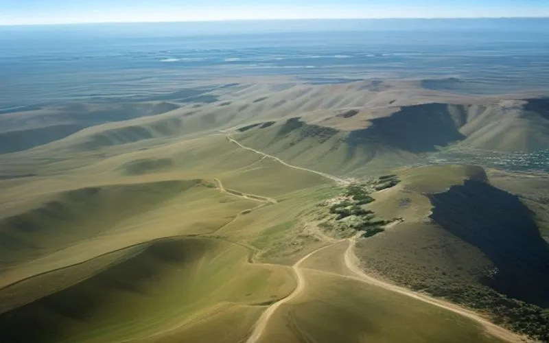
The geopolitical landscape of southern Lebanon remains intensely volatile as military operations and diplomatic frameworks collide. At the center of this friction are the Ali al-Taher hills, a commanding geographical feature that overlooks the Nabatieh district and surrounding valleys. Rising approximately 600 meters above the terrain, these heights have transformed into a critical flashpoint under the fragile ceasefire arrangements mediated by international actors.
The Pilot Zone Framework and Lebanese Armed Forces Challenges
Following the November 2024 ceasefire, a pilot zone model was introduced under U.S.-mediated talks to facilitate phased Israeli withdrawals from parts of southern Lebanon. Under this framework, the Lebanese Armed Forces (LAF) have stepped in to secure areas such as Zawtar Gharbieh, clearing rubble and restoring basic infrastructure for returning residents. However, the LAF operates under immense pressure, constrained by limited resources and persistent surveillance by Israeli reconnaissance drones. While attempting to assert state authority and support diplomatic negotiations, the under-equipped Lebanese military faces significant hurdles in preventing lasting military footprints by foreign forces.
Strategic Value of the High Ground and Underground Infrastructure
From a military perspective, possessing the Ali al-Taher ridge provides undeniable tactical advantages in surveillance, tracking troop movements, and exercising fire control over the Litani Valley and surrounding areas. Military analysts, including former Lebanese brigadier general Mounir Shehadeh, note that the terrain is suspected of hosting intricate underground tunnels and Hezbollah command centers. Although claims regarding the scale of these subterranean networks and the use of hazardous materials remain difficult to independently verify, they heavily influence military planning and psychological warfare campaigns.
- Elevation of approximately 600 meters providing unmatched observation capabilities
- Proximity to major urban centers like Nabatieh
- Geographical connection to historical elevated positions such as Beaufort Castle
Geopolitical Objectives and the Future of the Border
Beyond tactical calculations, the contest for the Ali al-Taher heights carries profound political and symbolic weight. Analysts suggest that the ongoing operations may serve multiple objectives, ranging from the immediate military goal of neutralizing observation points to broader political aims of establishing a de facto long-term security reality. For Hezbollah, retaining or losing this strategic ground signifies much more than a geographical shift; it tests the durability of regional ceasefires and dictates the future stability of the southern Lebanese border.
This news article was compiled by AI-assisted algorithms under Ajans Savunma editorial guidelines, adhering to technical details from the original source. Original Source: Defense News Global

Yorumlar (0)
Henüz yorum yapılmamış. İlk yorumu siz yapın!
Bir Yorum Bırakın